
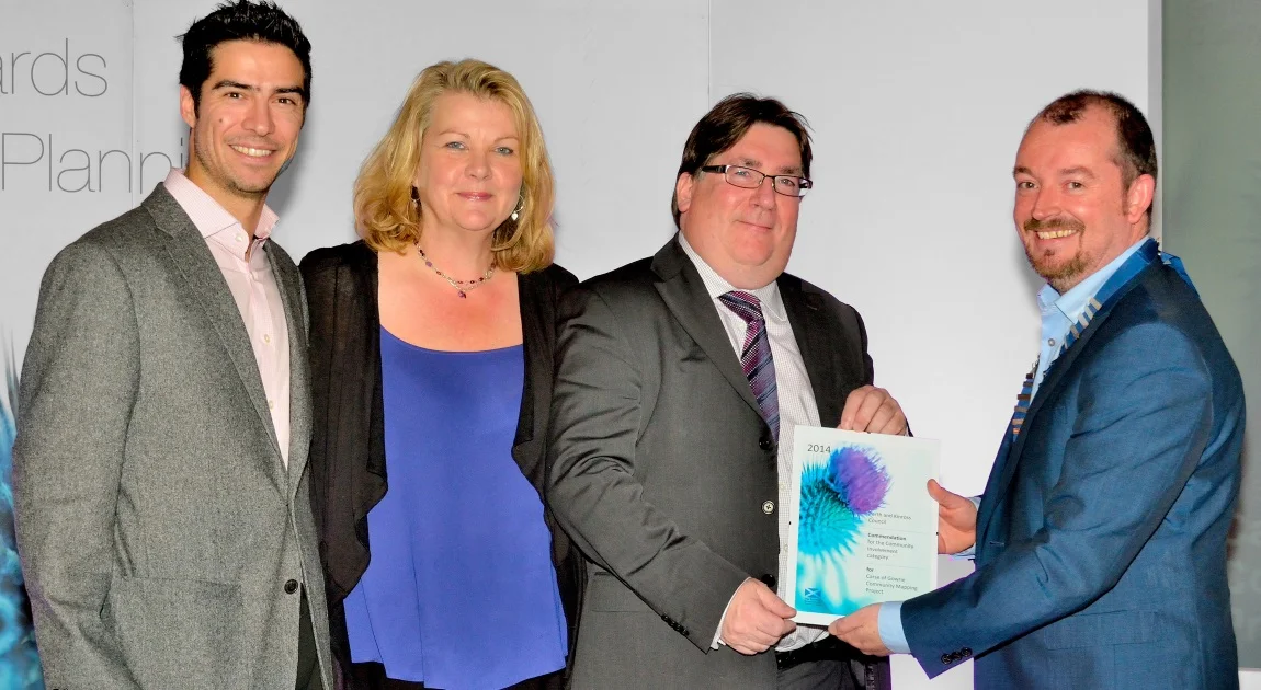

Paul (GeoGeo), Fiona (Carse of Gowrie) and Graham (Perth & Kinross City Council) receiving the Commendation at the 2014 Scottish Awards for Quality in Planning.
With judges describing the Carse of Gowrie Community Mapping Project as exciting, inspiring, and enthusiastic, there was cause for celebration this week after being presented a Commendation for Community Involvement at the Scottish Awards for Quality in Planning 2014. Working in partnership with Perth & Kinross City Council, Sniffer and Carse of Gowrie's Sustainability Group, our team helped the community to map their local area using the latest in open source mapping techniques. These tools included OpenStreetMap, QGIS and Ushahidi.
We live in a time where communities need to take more responsibility over their environment and become more resilient to the climatic changes happening around them, both locally and globally. Our community mapping approach helped to promote openness, transparency and collaboration between local residents, as well as with the public agencies that are there to support them. Our rationale for why we should be 'mapping up' and promoting citizen science and knowledge stems from a very basic law of Geography; the first law (Waldo Tobler's) in fact: that we will always know more about the places closest to us.
The enthusiasm to learn new skills and the desire to live in a more prosperous locale brought the community together like never before. In just a few weeks, a few members of the Sustainabilty Group had mapped close to 11,000 features in the Carse of Gowrie area. Their mapping endeavours unlocked a wealth of available open data (otherwise inaccessible in the UK thanks to commercial licensing) for citizens to use in creative and locally-important ways. In the twelve months since the project started, a dedicated community mapping group has been formed; with various branches for conservation, heritage and flood response being formed to tackle the priority issues.