
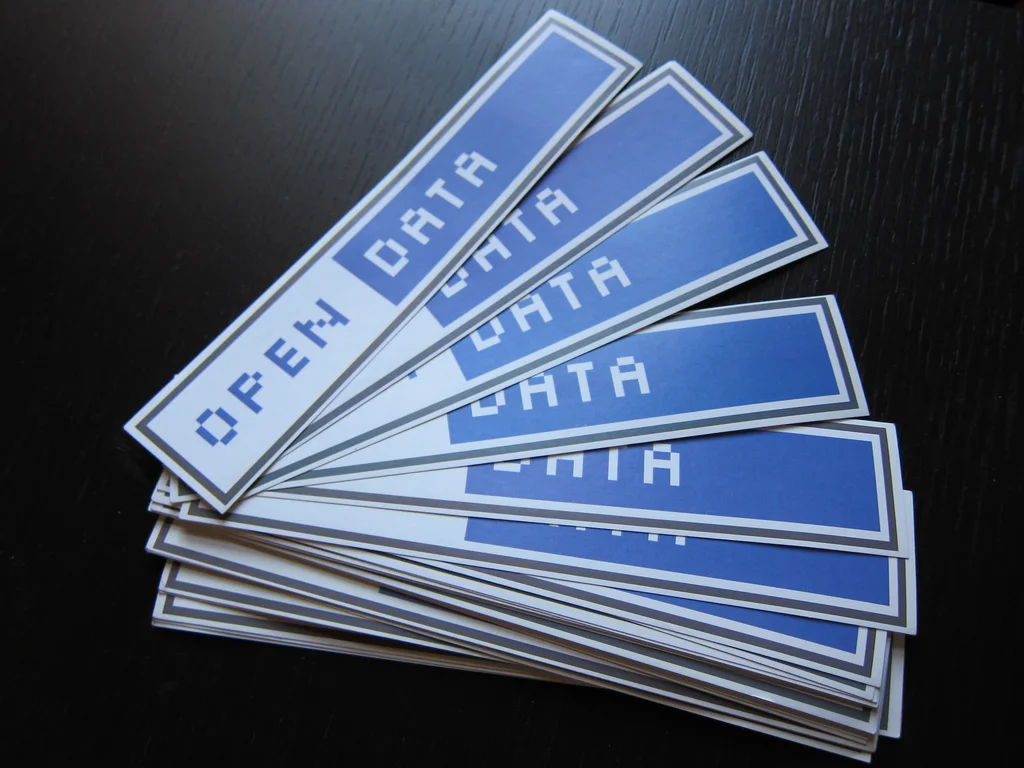
Open data has become a bit of a buzz word. The idea is that governments generously share information about what is happening in your city – which could, in lots of cases, be used to make interesting maps . However, for the citizen geographers among us, making interesting maps about what’s happening in our cities has always been a bit of a headache.
What’s happening in my city. What if I want to map the buildings by age, or by type, or road speed limits, current road works and bin collections? In which areas do people live furthest from a gym? Or bank or betting shop (a map I’ve wanted to make for years). Maybe make myself a nice map of where we can go walking or cycling. We’re all different and we all have locally important issues that we’d love to throw our carto-creativity at!
In the digital age, data is everything.
Here in the UK, our national mapping agency realised this (in 1998 to be exact), and we’ve been living in a backwards world ever since. Over the last few decades, having an up-to-date map of our country has become increasingly more expensive. Perhaps a lack of government financial support for Ordnance Survey could be to blame.
Our city councils hold most of the data about our cities. Hence why ‘opening up’ datasets has been a priority in the ‘Smart Cities’ movement, where ‘Smart Governance’ dictates an open, transparent form of e-Governance.
However, here in Scotland, every city council places their knowledge of the city – from every city service to business to infrastructure – on Ordnance Survey’s MasterMap. This commercial dataset is provided to every public sector body via the ‘One Scotland Mapping Agreement’, and to any private sector company who can afford it. That means anyone who uses MasterMap inadvertently creates a commercialised derivative dataset… simply because they use it, and because it is commercialised.
In the digital age, data is valuable.
It is exactly this accurate, up-to-date map that OS use to justify its commercialisation. “It has value, so we shouldn’t give it away for free.” Really? Surely, its value to everyone is the very reason it should be made openly available? Or do we just want public bodies and large corporations to be the only ones who can afford it, so the only ones who can use it?
Alas, OS now claim they provide ‘Open Data’. You can download every building and road free of charge! But wait…with our own council’s data now tied up to this MasterMap, the valuable part is the attribution associated with those buildings and roads! Without it, all we get is boxes and lines.
Are we, as citizens, communities, entrepreneurs and small businesses just expected to start over and replicate all of this wealth of information held by local government? I see only two solutions: either swap our government’s base map (OpenStreetMap is already employed by the States and the UN and makes for a compelling, community driven approach)… or we could encourage our Governments to come together, realise the importance of truly open data in the digital age and support our national mapping agency to do what they do best…
Give the people their map back!